Map
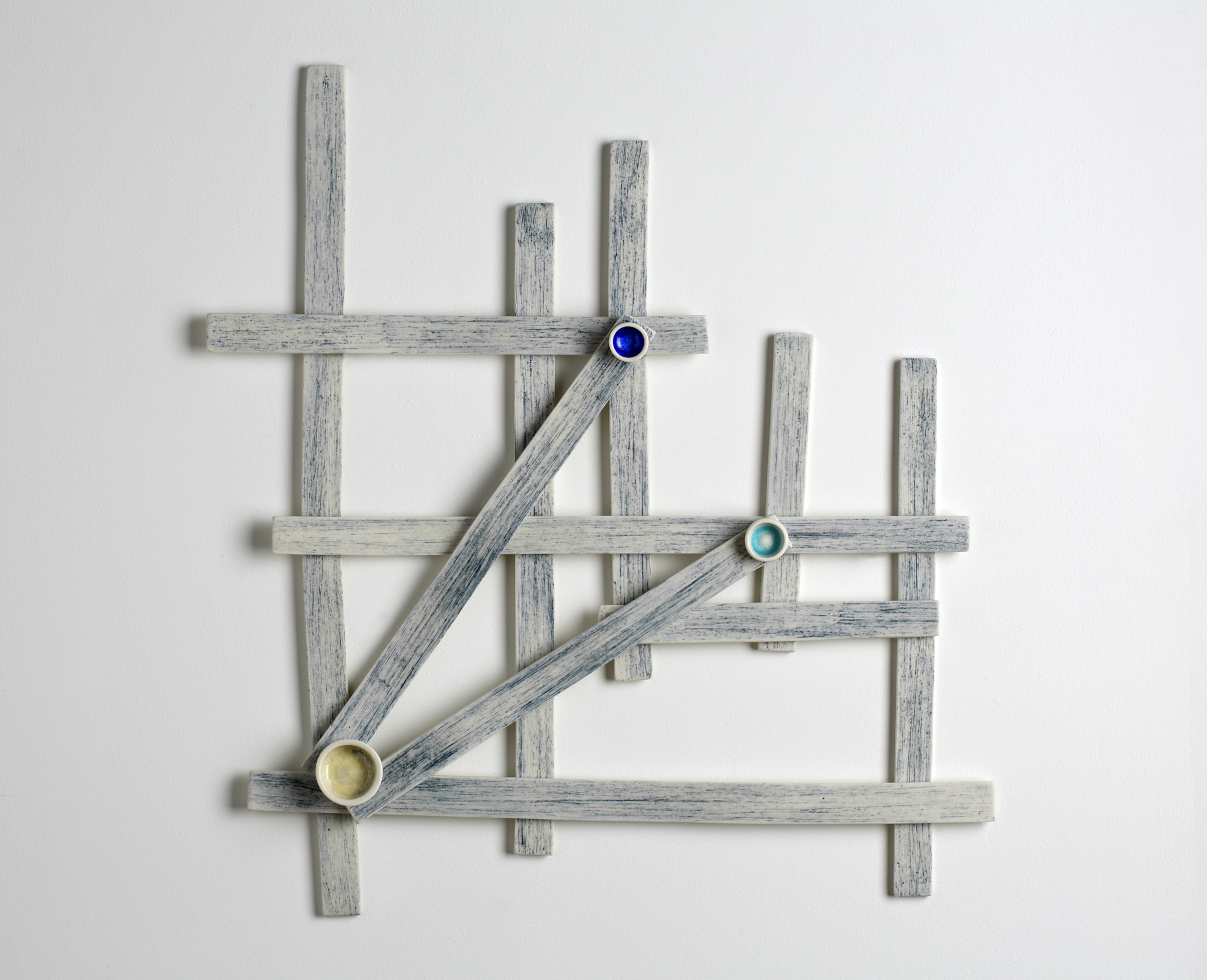
Inspired by Micronesia stick maps. Ancient seafarers from the Marshall Islands made charts from coconut fiber and shells to indicate islands, waves, and currents. Stick charts were not used for navigation in the way we use maps or charts today. In fact, the Marshallese probably did not consult stick charts on their long journeys throughout Micronesia. Instead, the navigators memorized the chart before the journey was made. These “maps” were often highly individualized and likely could have only been read by the person who made it... A sort of personal “back of the envelope” coded jotting of “directions.” (Irresistible!)
Porcelain; handbuilt; oxide washes and crystalline glazes; about 20" x 20"
Sold (private collection)